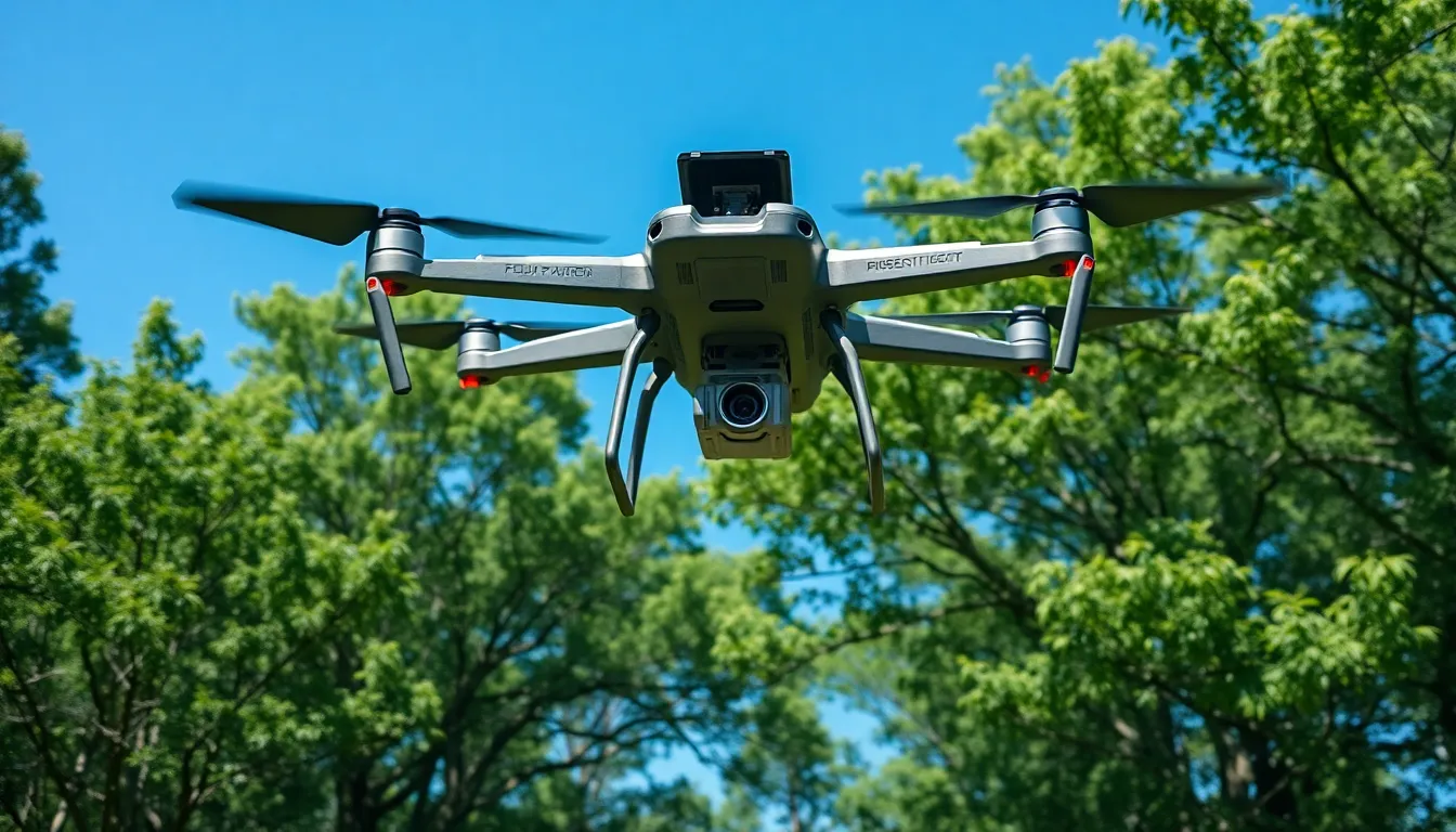
Imagine a world where flying robots help map out the terrain while you sip your coffee. Enter drones with LIDAR technology, the superheroes of the aerial surveying realm. These high-tech gadgets aren’t just for capturing stunning aerial shots; they’re revolutionizing industries like agriculture, forestry, and construction by offering precise data that makes traditional methods look like they’re still stuck in the Stone Age.
With their laser-like precision, LIDAR-equipped drones can create detailed 3D models of landscapes, ensuring that no tree goes unmeasured and no hill remains uncharted. Whether it’s optimizing crop yield or planning urban developments, these drones are the trusty sidekicks every professional didn’t know they needed. So buckle up and get ready to explore how drones with LIDAR are changing the game, one laser pulse at a time.
Table of Contents
ToggleOverview of Drones with LIDAR
Drones equipped with LIDAR technology play a crucial role in modern surveying and mapping practices. These devices utilize laser light to measure distances, capturing high-resolution data rapidly and accurately. Environments such as forests, fields, and urban landscapes become more accessible for analysis due to the efficiency of LIDAR drones.
Data collected by LIDAR systems allows for the development of detailed 3D models of terrain and structures. Professionals can visualize landscapes with precision, identifying features such as vegetation density and building heights. This capability directly impacts industries like construction and forestry, enhancing decision-making and project planning.
Drones serve various functions in multiple sectors. In agriculture, they monitor crop health and optimize resource use. This efficiency results in increased yields and reduced waste, benefiting farmers and the environment. In forestry, they assess forest structure and monitor changes over time, supporting sustainable management practices.
Benefit from reduced labor costs and hours spent on ground surveys. Drones equipped with LIDAR significantly decrease the time needed for large-scale mapping projects. Accuracy and speed combined provide critical insights, assisting in emergency response scenarios and infrastructure inspections.
State-of-the-art sensors enable LIDAR drones to operate in diverse weather conditions. Obtain valuable information even amid dense foliage, where traditional methods struggle. Understanding terrain variations becomes straightforward, ultimately informing land use planning and development strategies.
Drones with LIDAR technology prove indispensable in a rapidly evolving data-driven world. Their capabilities enhance various fields, ensuring data quality while improving overall efficiency.
Applications of Drones with LIDAR
Drones equipped with LIDAR technology offer several practical applications across various industries. Their precision and efficiency enhance data collection and analysis in diverse environments.
Environmental Monitoring
Drones with LIDAR play a critical role in environmental monitoring by providing accurate topographical data. They facilitate the assessment of vegetation coverage, enabling conservation efforts to track changes in ecosystems. High-resolution imagery captured by LIDAR aids in identifying forest health and mapping wildlife habitats. Such insights support researchers in monitoring the impacts of climate change and human activities on natural landscapes.
Precision in vegetation density measurements enhances the ability to manage forests sustainably. Moreover, data obtained reveals changes in land use patterns, offering valuable information for urban planning and development.
Infrastructure Inspection
Infrastructure inspection benefits significantly from LIDAR-equipped drones. These drones facilitate the detection of structural issues in bridges, roads, and buildings, identifying cracks and other potential hazards. Professionals can gather detailed 3D models, assisting engineers in making informed decisions regarding maintenance and repairs.
Rapid data collection significantly reduces the time required for inspections. The ability to operate in hard-to-reach areas enhances safety and accessibility during evaluations. LIDAR data also supports compliance with regulatory standards, ensuring infrastructure integrity is maintained.
Advantages of Using Drones with LIDAR
Drones equipped with LIDAR offer numerous advantages across various industries, enhancing operations and data collection.
Precision and Accuracy
These drones deliver high precision in data collection. Laser pulses reflect off surfaces, allowing for detailed measurements. They capture elevation data with a vertical accuracy of up to 10 centimeters. This level of accuracy surpasses traditional survey methods. Professionals can create accurate 3D models of terrains. Detailed topographical maps assist in understanding landscape features. Drones maintain precision across large areas, easily covering vast landscapes. They also minimize human error during data collection, leading to more reliable outcomes. Ultimately, this technology ensures meticulous analysis and improved decision-making.
Cost-Effectiveness
Using drones with LIDAR significantly lowers surveying costs. Traditional surveying methods often require extensive labor and time, increasing project expenses. Drones streamline the data collection process, reducing the hours needed for mapping. They generate detailed results rapidly, enabling faster project completion. Studies show that LIDAR-equipped drones can cut project costs by up to 50%. Furthermore, the reduction in labor needed translates to fewer personnel on-site. This efficiency leads to less equipment requirement and transportation costs. Organizations benefit from improved project budgets while achieving high-quality results, making this technology a wise investment.
Challenges and Limitations
Drones with LIDAR technology face several challenges that impact their effectiveness and adoption. Understanding these hurdles is essential for optimizing their use in various applications.
Technical Limitations
Technical issues often arise during LIDAR operations. Sensor performance can degrade in adverse weather conditions, leading to inaccurate data collection. Moreover, drones require a suitable flight plan to maximize coverage and data quality. Battery life poses another challenge, as extended missions often exceed battery capacity, limiting operational time. High initial costs of LIDAR sensors can also hinder accessibility for smaller organizations. Data processing demands substantial computational power, potentially delaying analysis. Lastly, limited payload capacity restricts the adoption of advanced sensors and expands operational needs.
Regulatory Considerations
Regulatory frameworks significantly influence LIDAR drone deployment. Operations typically require adherence to local aviation laws, which vary by region. Certification for pilots ensures compliance with safety standards, often complicating project execution. Additionally, obtaining necessary permits can prolong project timelines, especially in urban or sensitive areas. Privacy regulations pose concerns about data collection in populated spaces, requiring careful navigation around community rights. Constantly evolving regulations add uncertainty, making planning less predictable. Consequently, stakeholders must stay informed about regional legislative changes to ensure compliance and avoid penalties.
Future Trends in Drones with LIDAR
Emerging trends indicate that drones with LIDAR technology are set to become more advanced and widely adopted across various sectors. Adoption will likely increase in industries like construction, agriculture, and environmental monitoring. Enhanced sensor capabilities are expected to boost the precision of data collection, allowing for even greater accuracy in 3D modeling.
Data processing speed improves owing to advancements in machine learning algorithms. These improvements facilitate real-time data analysis, enabling quicker decision-making in critical situations. Future drones may incorporate artificial intelligence, which can automate data interpretation, leading to actionable insights with minimal human intervention.
Integration of LIDAR with other technologies, such as infrared and multispectral imaging, is anticipated. This integration allows for comprehensive data gathering, providing a holistic view of landscapes and infrastructure. Consequently, professionals will gain deeper insights into ecological health and asset conditions, enhancing project planning and execution.
Cost efficiency will likely see further enhancement as technology matures. The reduction in hardware prices will make LIDAR drones accessible to smaller organizations, expanding their use in various applications. Improved battery technologies are also expected, extending flight time and operational reach.
Regulatory frameworks will adapt to the evolving drone landscape. Anticipated adjustments will simplify deployment processes while ensuring safety and compliance. Stakeholders must stay updated on these changes to fully leverage the potential of LIDAR-equipped drones.
In essence, the future of drones with LIDAR technology looks promising, characterized by improved accuracy, enhanced data processing, and greater integration with other technologies. As these advancements materialize, they will continue transforming how industries operate, maximizing efficiency and effectiveness in data collection and analysis.
Drones equipped with LIDAR technology are revolutionizing how industries conduct surveying and mapping. Their ability to gather precise data quickly and efficiently is reshaping project planning and decision-making processes. As advancements continue in sensor technology and data processing, these drones promise to become even more integral to sectors like agriculture, forestry, and construction.
The future holds great potential for enhanced capabilities and accessibility, allowing smaller organizations to benefit from this innovative technology. With ongoing improvements in battery life and regulatory frameworks, LIDAR drones are set to play a crucial role in optimizing resource management and ensuring safety across various applications. The ongoing evolution of this technology will undoubtedly lead to more informed decisions and greater efficiency in data collection and analysis.